Description
What is MESSIR-VISION?
MESSIR-VISION is a sophisticated software, running on a standard Windows PC, which may include up to 4 screens. MESSIR-VISION integrates into one compact system all data needed for weather forecasting: surface and upper-air observations, numerical weather predictions (models), satellite and radar imagery…
MESSIR-VISION software allows the most demanding Forecasting Centres to:
- Acquire real-time data and products from various data sources
- Store these data online to keep them at the immediate disposal of Forecasters
- Provide Forecasters with a rich set of on-screen tools to produce forecasts, issue warnings and make decisions
- Disseminate forecasts / warnings to users.
![]()
MESSIR-VISION Main Functions
MESSIR-VISION software tools allow to display, manipulate and combine all the available data and products, make decisions and produce outputs such as maps and forecasts:
- Surface and upper-air observation plots and analysis maps
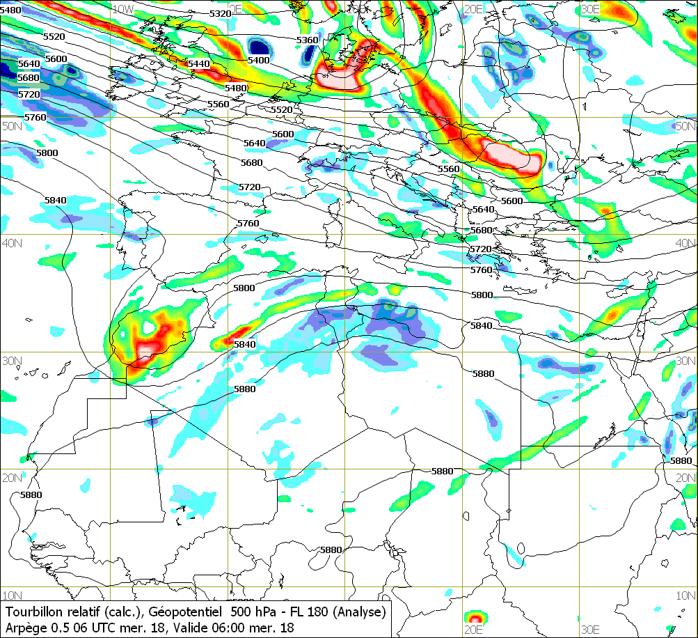
- Charts of NWP model outputs from various origins and types: UK Met Office, ECMWF, Offenbach, Washington, Meteo-France, Arome, Aladin, Hirlam, WRF, MM5, ETA, PUM…
- Global and Mesoscale NWP model charts
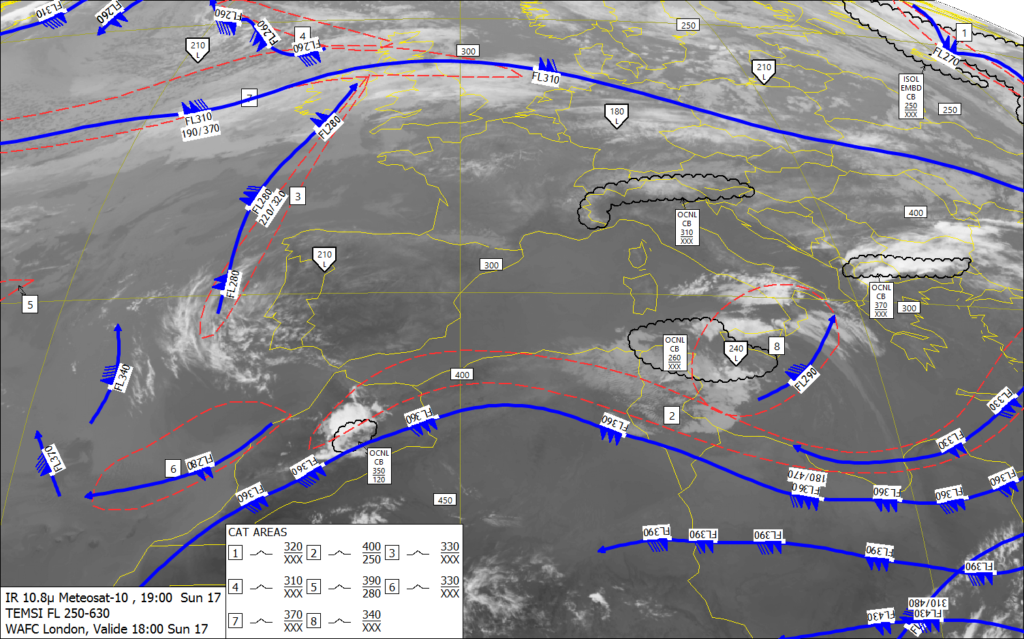
- Aviation charts such as SIGWX, Wind-temp, …
- Satellite imagery
- Weather radar images, Lightning data, Wind-shear alert data
- Integration, Overlay, Animation, Filtering of the above data types
- Chart production
- Multi-Windows, Macro-commands
- Export of data and products
- Compliance with WMO standards: WMO Manual No. 306 -Manual on Codes
- Can get data from GTS / WIS (ex : MESSIR-COMM, MESSIR-WIS), Internet sites, SADIS, NOAA/WIFS, DWDSAT, METEOSAT, EUMETCast, GEONETCast, NOAA-GOES, METOP, MTSAT…
- Can get data from third-party systems as Network of AWS, radio-sonde, weather radar…
- Compatible with BUFR and PNG/T4 coding of aviation charts such as SIGWX, Wind-temp, …
- Compatible with TAC as well as TDCF/BUFR format (SYNOP, SHIP, CLIMAT, TEMP, PILOT, TAF, METAR/SPECI, AIREP, AMDAR…)
- Data plotting: surface / upper air, isolining (with on-screen modification), colour shading, objective analysis, time-series, air masses, overlay with satellite images
- Various NWP model outputs supported formats: GRIB1, GRIB2, NetCDF
- Global as well as high-resolution LAM numerical models
- Display, animate, overlay the various parameters (wind, temperature, pressure, humidity, marine…) from NWP models
- Combine and create new NWP parameters (formula)
- Display models in contours, streamlines, values, colour shading, sections, 3D
- Cross-sections
- Particle trajectories
- Various projections: cylindrical, stereographic, Mercator…
- Data monitoring and visual alerting
- METAR/TAF comparison
- Tactical Decision Aid (TDA) display for Armed Forces missions planning: Wind Chill, Heat Stress, user-defined scenarios…
- “On-screen” production of SIGWX charts, with possibility to integrate and rework BUFR data originating from WAFS
- “On-screen” production of analysis and forecast analysis charts using a comprehensive range of meteorological symbols
- Integrated map generator to create your own map backgrounds
- Macro-commands: display all the data needed on a routine daily basis with three clicks only
- Replay archived weather situation for training purpose
- Image and product export in various formats: JPEG, TIFF, WMF, PDF, XML …
- Automatic creation and export of routine charts, according to user-defined schedule, via the MESSIR-ImageMaker module
- Export to NATO formats (METGM,METCM…)
- Large field experience, Great Reputation: MESSIR-VISION has numerous references worldwide in various environments (Met Services, Army, Aviation). 500 MESSIR-VISION systems have been installed in 100 countries.
- Ease of use: MESSIR-VISION is very easy to use. A forecaster (or other user) is familiar with MESSIR-VISION after only one hour practice. Users may learn MESSIR-VISION just by sitting in front of their monitor, pointing and clicking and navigating through menus.
- Flexibility: Forecasting Centres have similar needs, but specific requests may arise, due to history, technical environment and user habits. MESSIR-VISION is a flexible system which can be adapted to your specific context, specific data sources and specific data formats.
- Power: Stunning response times to display, analyze, overlay, and create meteorological products. High volumes of data can be processed.
- Scalability: MESSIR-VISION is available in a light “stand-alone” configuration made of a simple PC connected to a data source. MESSIR-VISION is also available in powerful client / server configurations made of central duplicated Servers and dozens of clients. In that case MESSIR-VISION can be ideally completed with other COROBOR Products as MESSIR-WIS, MESSIR-COMM, MESSIR-XBASE, MESSIR-NET.


